Hurricane Florence began as a tropical storm on September 1. It progressively peaked to a category 4 hurricane with winds up to 140 mph. Though the storm’s wind speed had decreased to a category 1 upon landfall, Florence packed a significant punch with 90 mph winds and a brutal storm surge. Heavy rain and winds ravished the city, and when it was finished, Wilmington and much of the Carolinas had a great deal of clean-up and rebuilding to do. As responders rushed to help ease the devastation Florence brought, SkyNav realized the City of Wilmington made an important marketing decision that would help map out a plan for first responders unfamiliar with the land. The decision to use SkyNav as a marketing tool, originally for tourism marketing purposes, provided the city with critical images prior to destruction giving responders a useful tool to decide next steps after one of the worst hurricanes in modern history.
Before the Storm
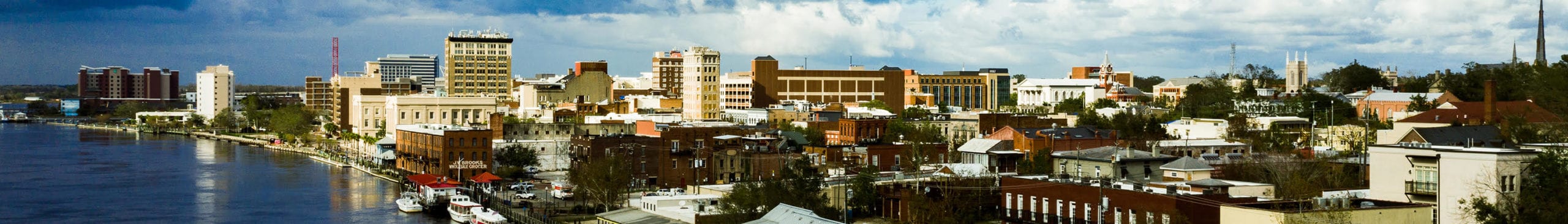
We made the decision to share our core four Wilmington area tours across social channels allowing for local highways, news media, and volunteer organizations to use SkyNav, an interactive 360º sky-to-ground virtual tour, as a tool to understand the lay of the land for miles.


During the Storm
When skies were clear, our CEO shared an areal of Ogden, a community outside of Wilmington. The video was shared 3,773 times with over 1,400 reactions. Local news organizations shared the video, as well. Ogden, like much of the community, was flooded.


After the Storm
Once the winds and rain had finally stopped, all of Wilmington and coastal Carolina knew it was time to recover and rebuild. With much of the area flooded like Ogden, there was a lot of healing to be done. SkyNav took flight again. This time it would reassure the people of the community, providing confirmation that the heart of the city was impacted by Florence but not irreparably. This video has served as a symbolic reminder that through tough times, we still stand strong and united.


While we have always thought of SkyNav as an incredible tool for tourism, meeting planners, and the overall marketing efforts of universities, communities, and cities, it took a tragic event like Florence for us to see how powerful this tool can be beyond its recreational use. As hurricane season comes to a close, we hope to never have to utilize our tours for such events again, but it’s humbling to know our tours can be used as a location and mapping resource for communities and rescue teams in times of disaster.